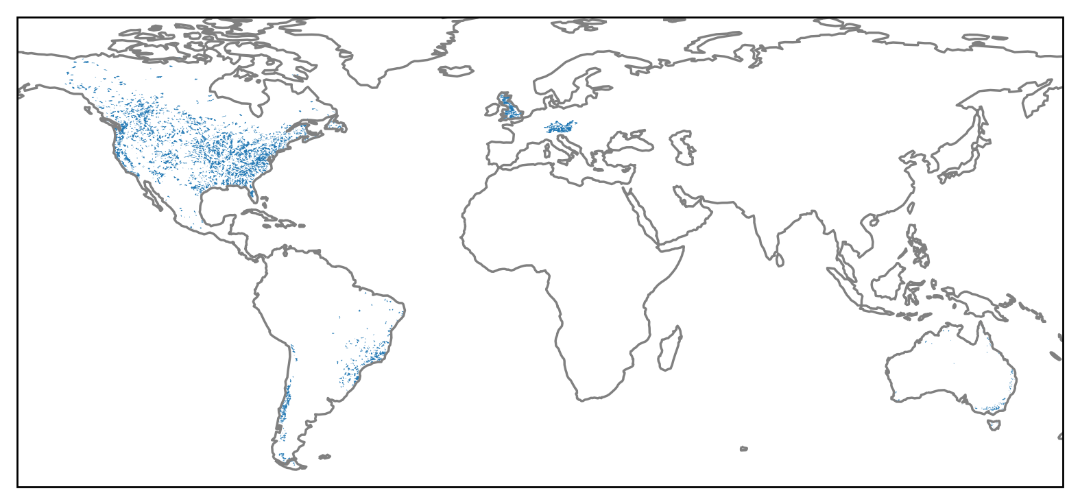
caravan-map
These are a series of maps containing the locations of catchments in the Caravan dataset.
The caravan dataset is a collection of streamflow and forcing data for hydrological models.
Caravan was prepared by Frederik Kratzert, the forcing is based on the ERA5-Land model. The streamflow is from the USGS.
To access it easily, it was stored here on the data.4TU.nl OPenDAP server.
This saves you from downloading and reading the whole dataset hosted on zenodo, instead only the necesarry data is downloaded and loaded into eWaterCycle as forcing for hydrological models.
To learn more about eWaterCycle see the website or the docs.
These maps are meant to easily explore the availible catchments and find corresponding basin_ids which are needed to generate the forcing data..
Links to interactive maps per country:
United States of America
Australia
Brazil
Chile
Scotland
England
Wales
Canada
Mexico
Germany
Switzerland
Austria
Lichtenstein
Czech Republic